 Image 1 of 7

 Image 2 of 7

 Image 3 of 7

 Image 4 of 7

 Image 5 of 7

 Image 6 of 7

 Image 7 of 7


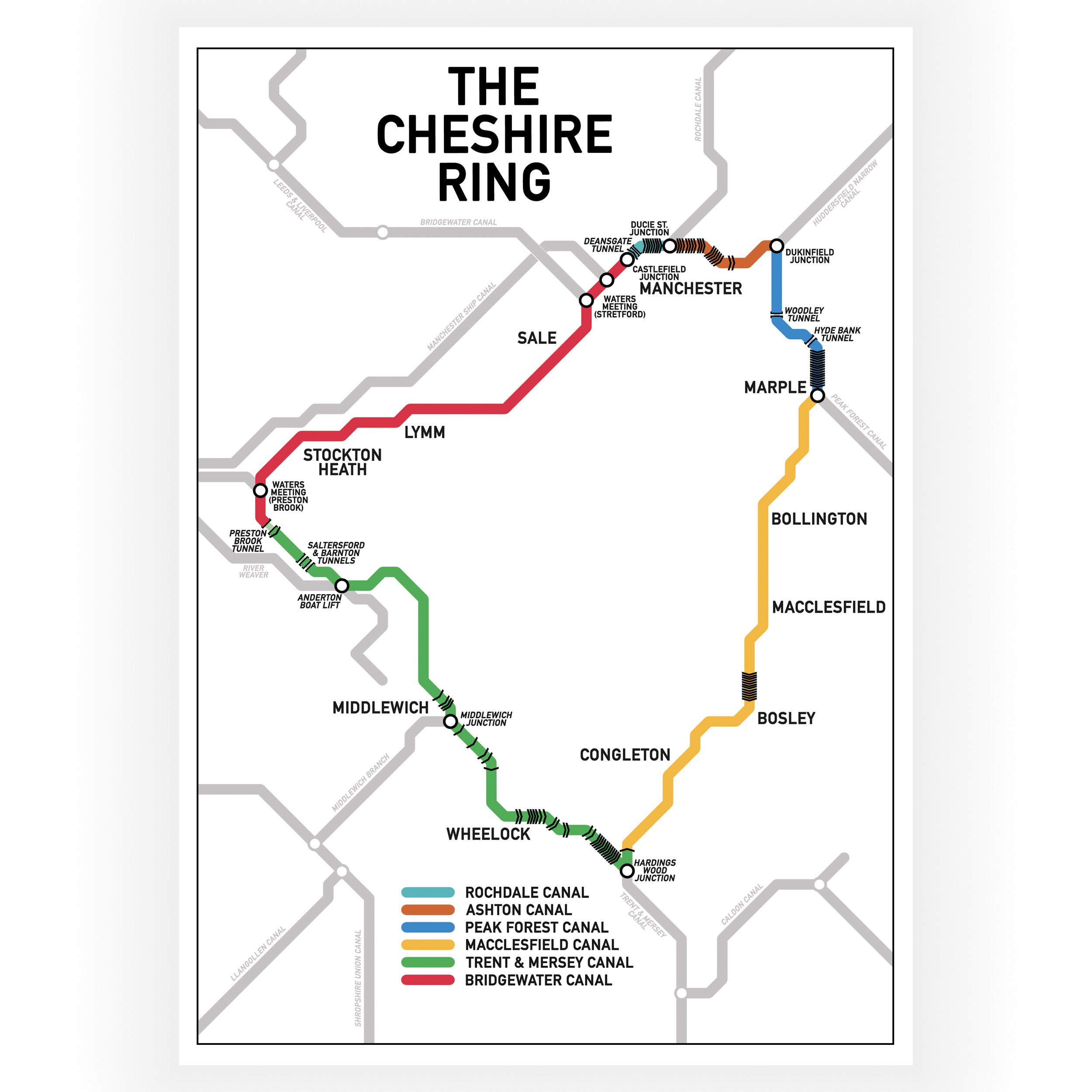
Cheshire Ring Map - A4
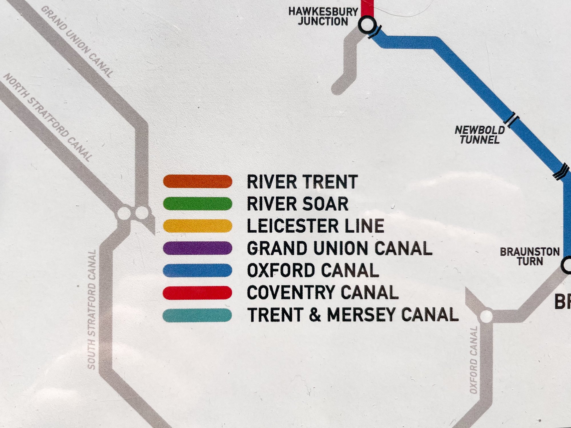
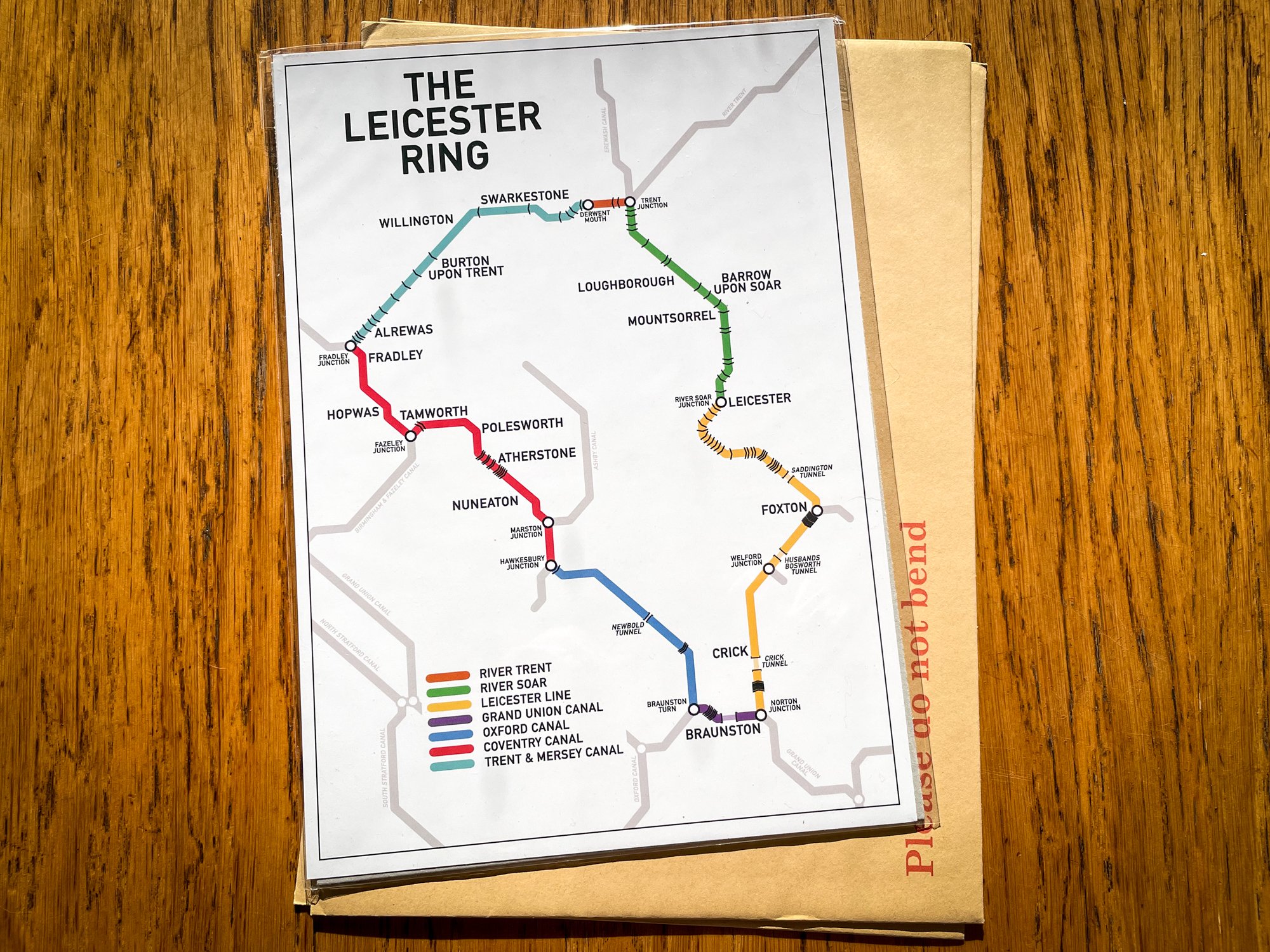
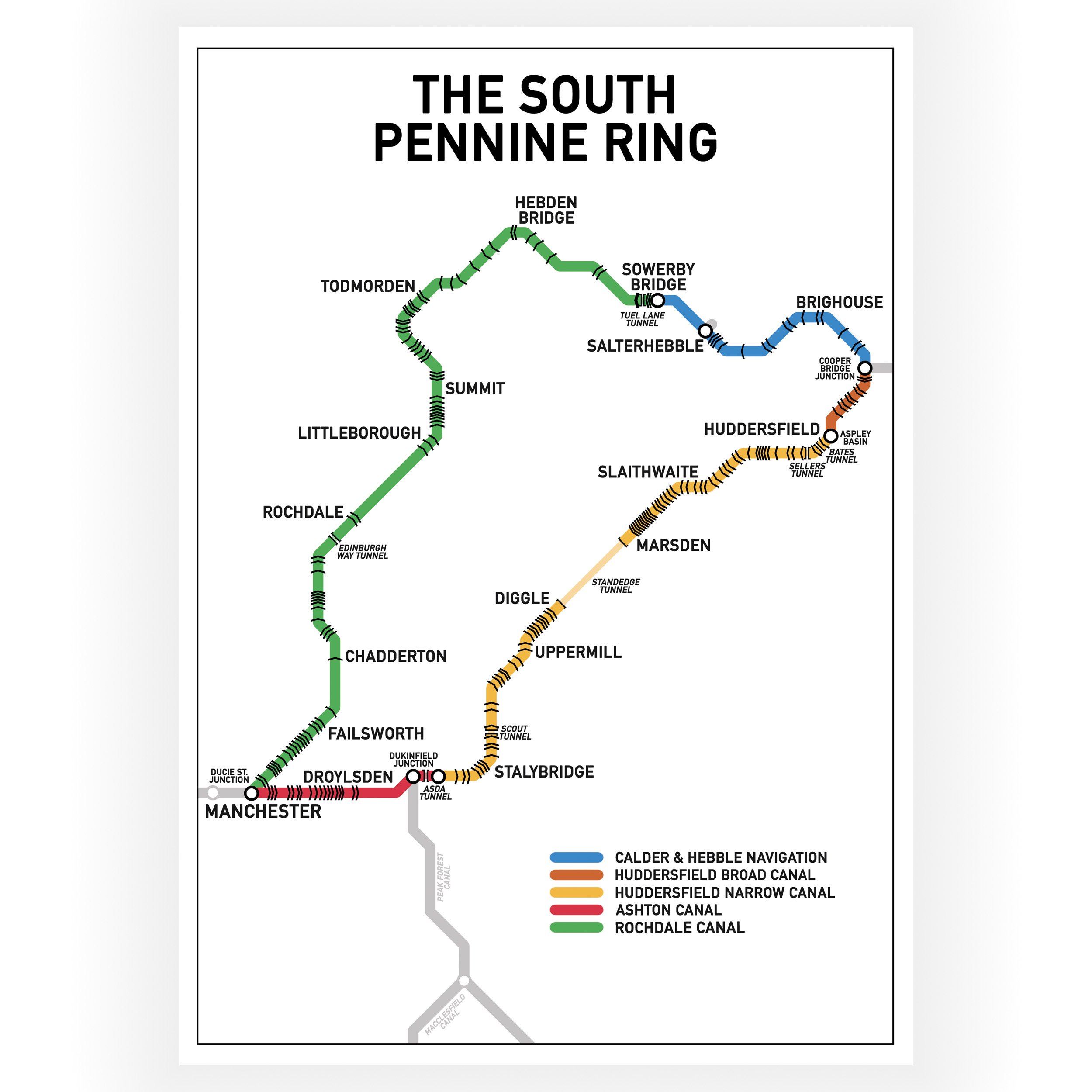
This print is a colour coded Tube-style illustration of the popular Cheshire Cruising Ring.
A colour coded key that shows the name of the waterways in the cruising ring has been included in the design. The print also shows the location of the locks, tunnels and names of the major cities, towns and villages along the route. The map does show the approximate layout of the waterways, but it is not to scale and the print is not intended to be used as a navigation tool.
Print size - A4 - 297 x 210 mm
UK orders are despatched from our narrowboat home.
Orders outside the UK are printed on demand and shipped by a local print partner.
