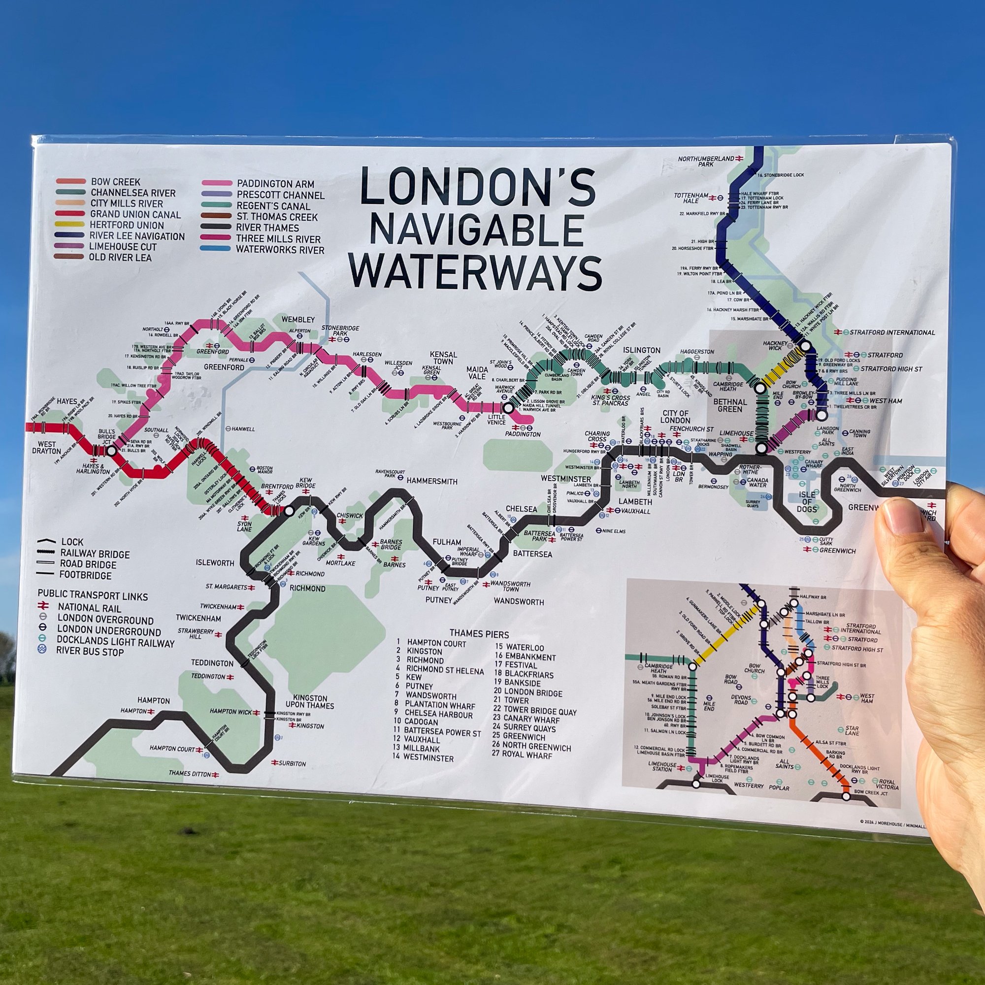
 Image 1 of 4

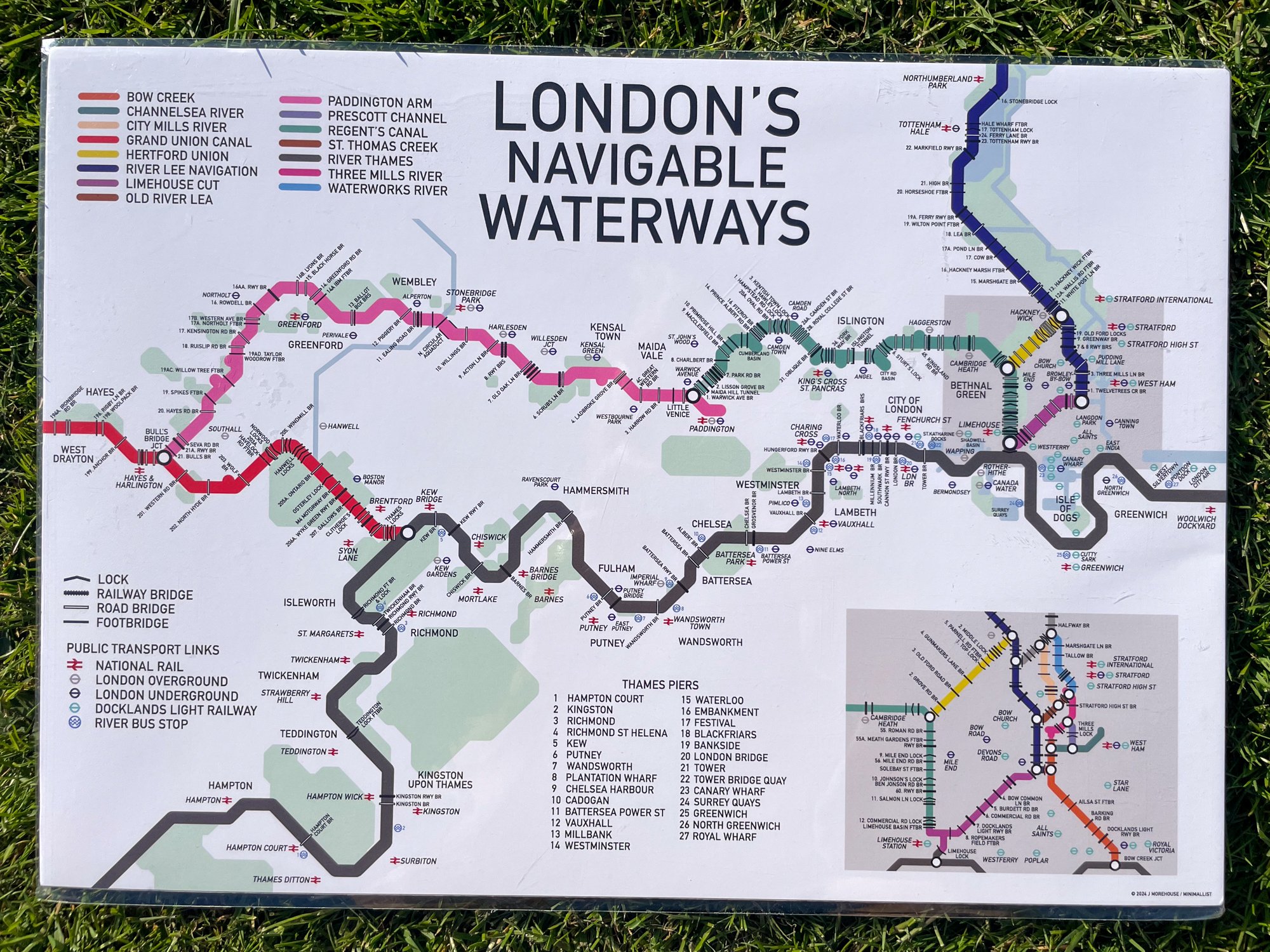
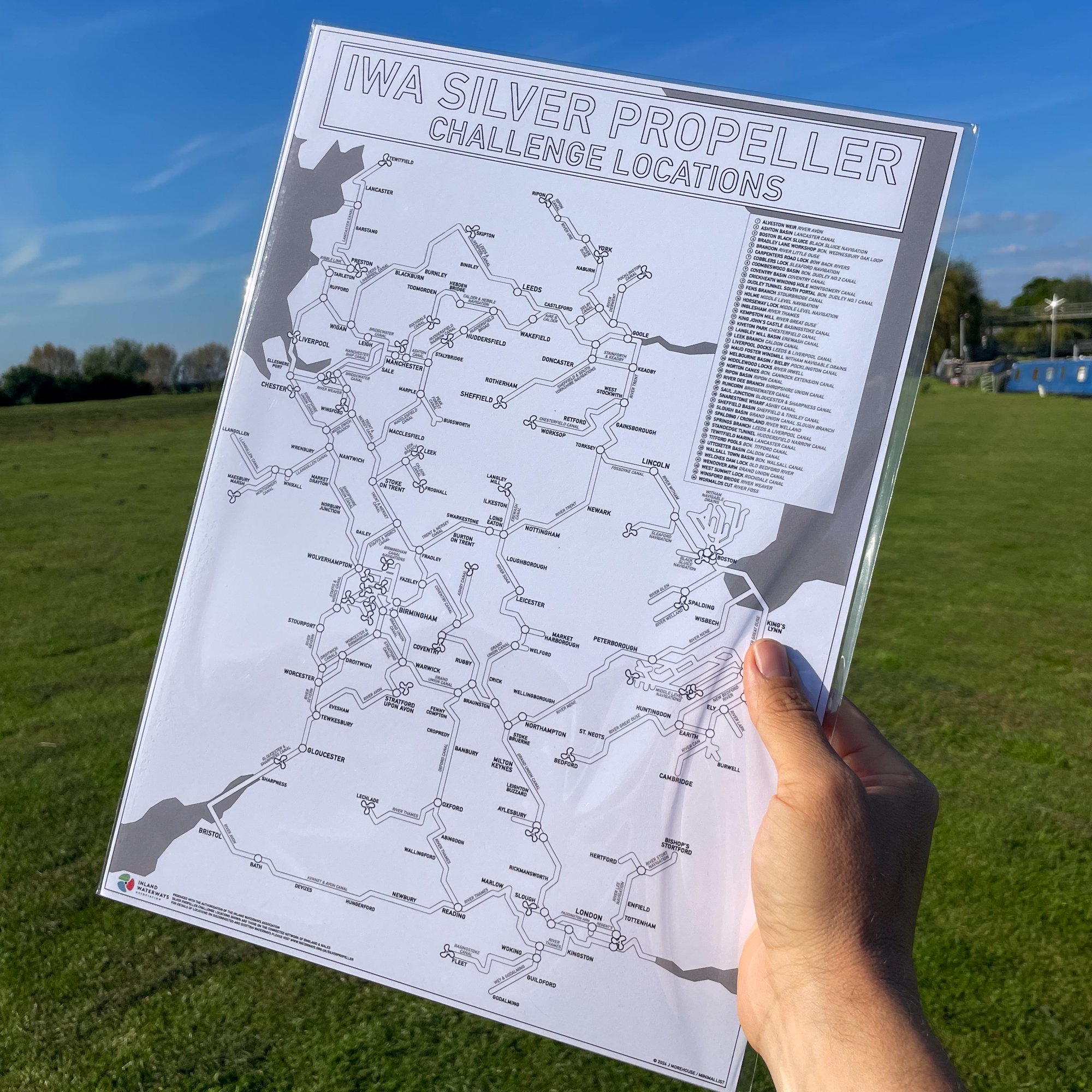 Image 2 of 4

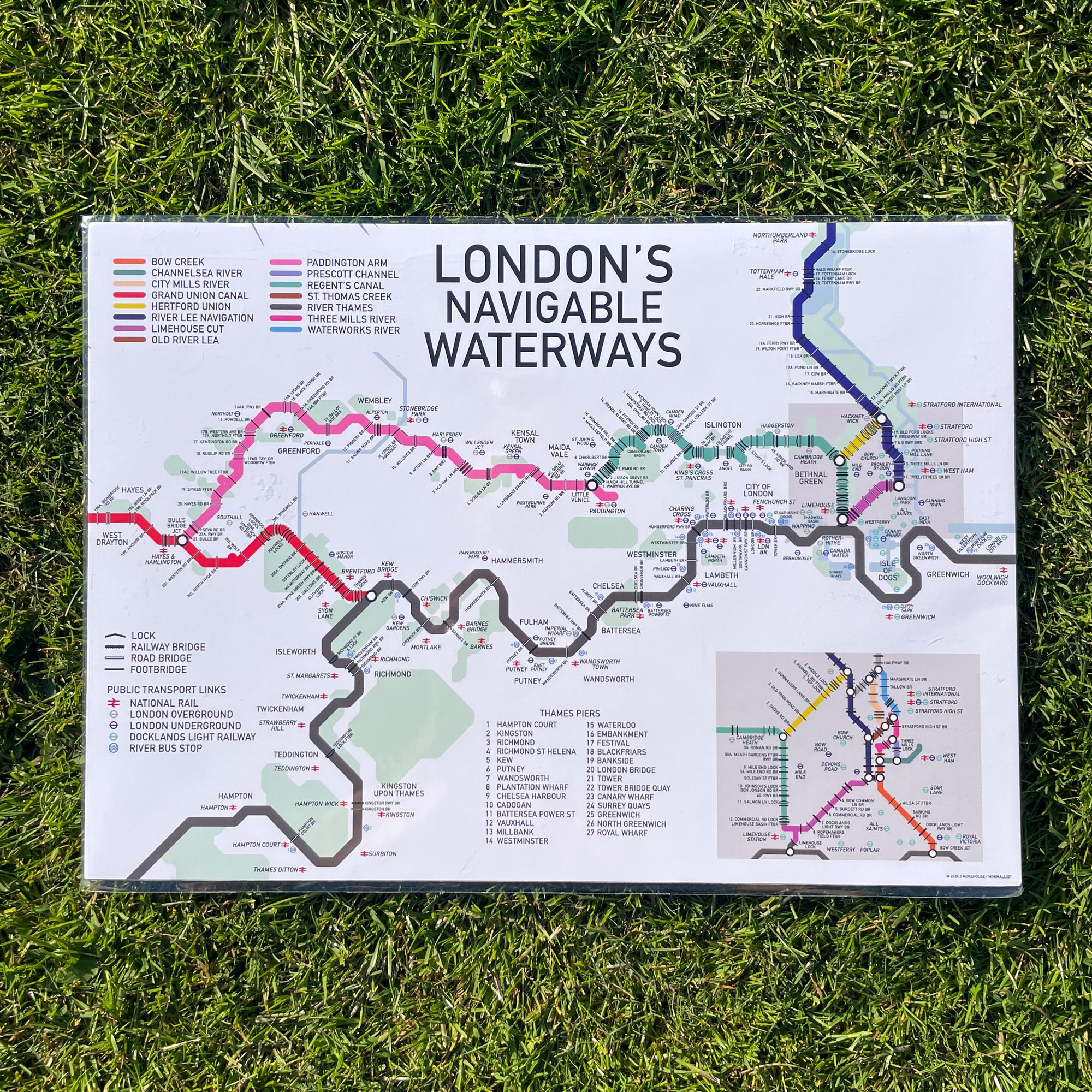
 Image 3 of 4

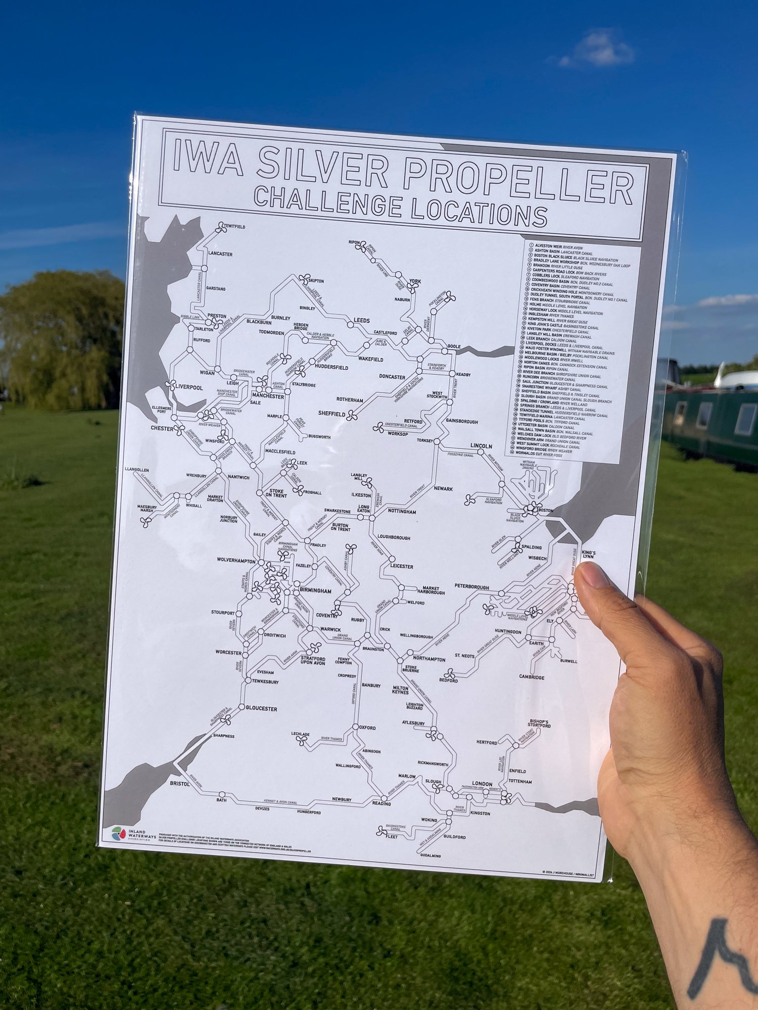 Image 4 of 4

Silver Propeller Challenge Colour In Map - A3
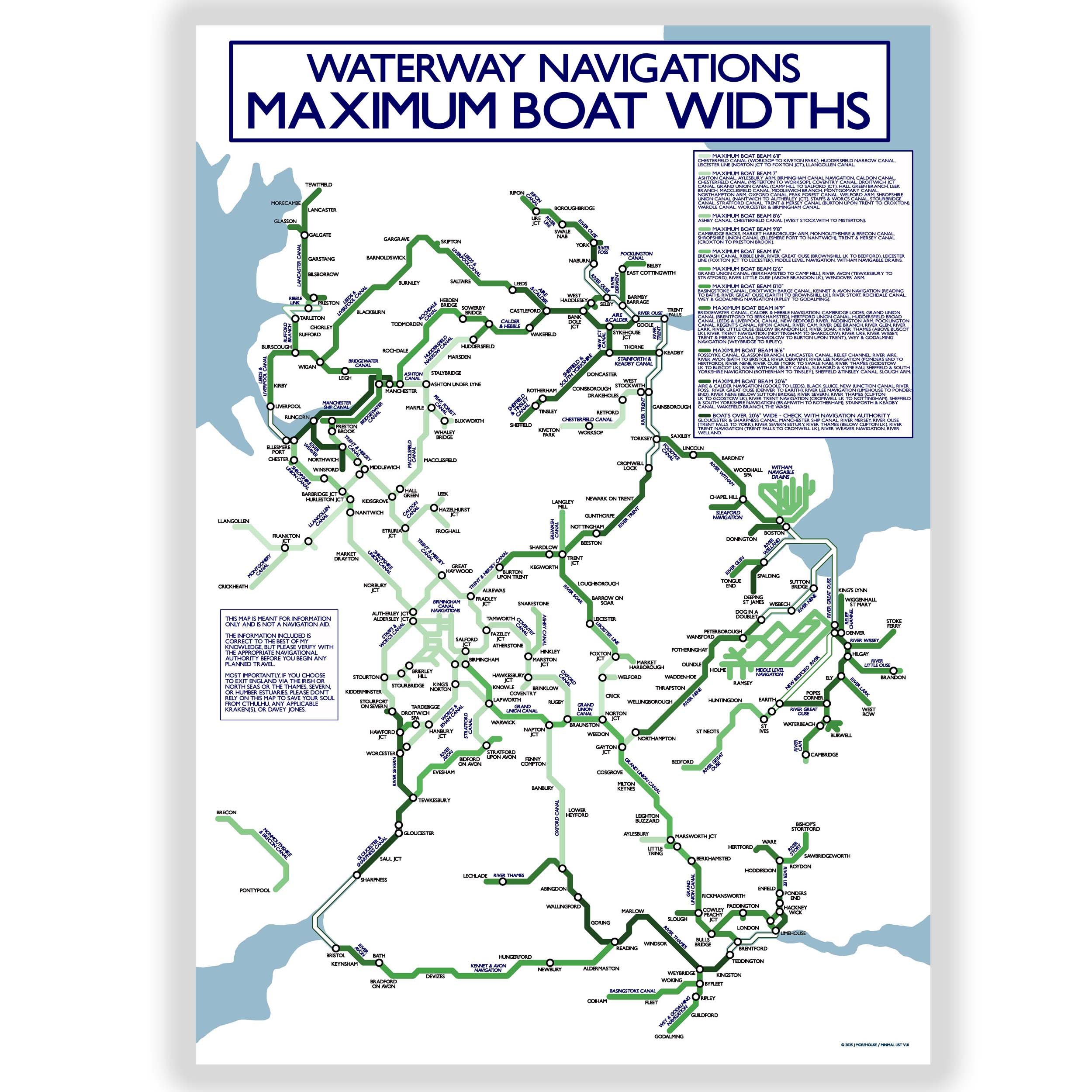
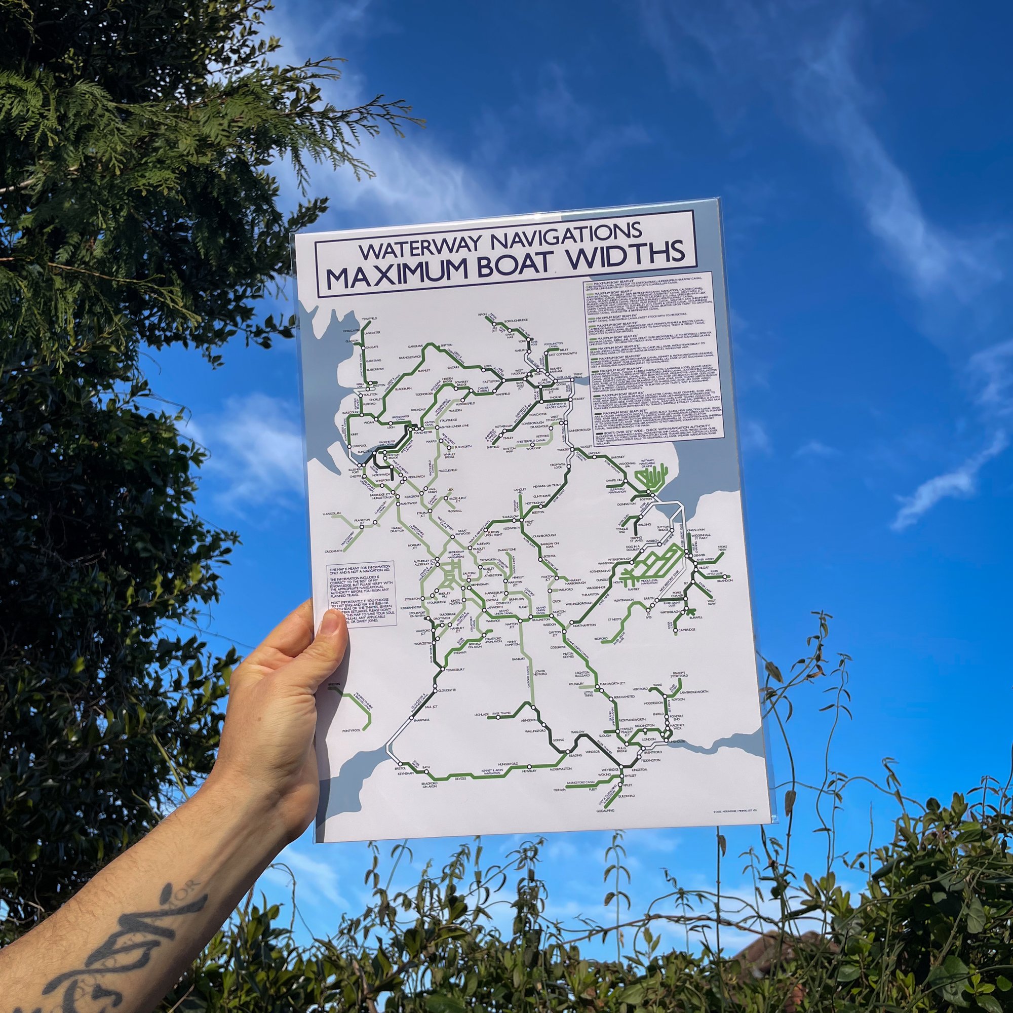
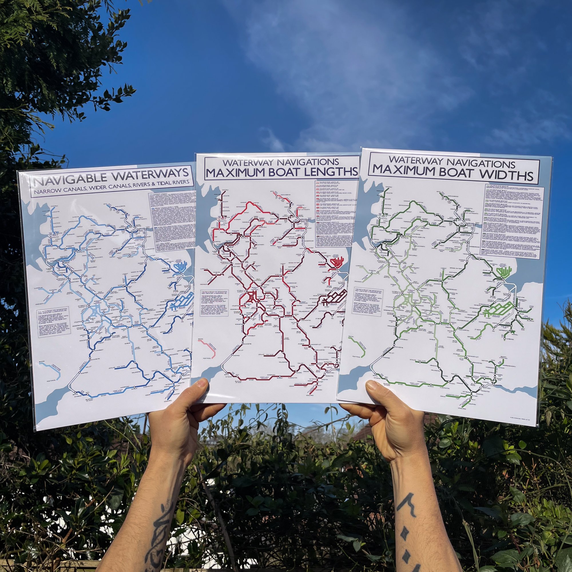
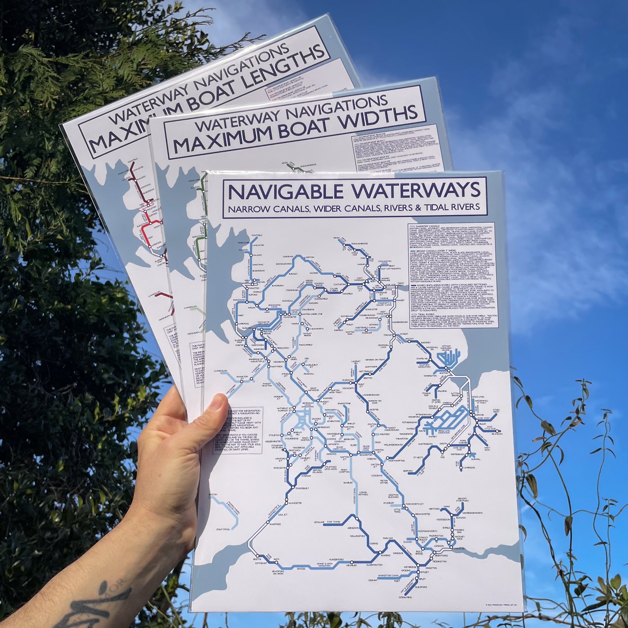
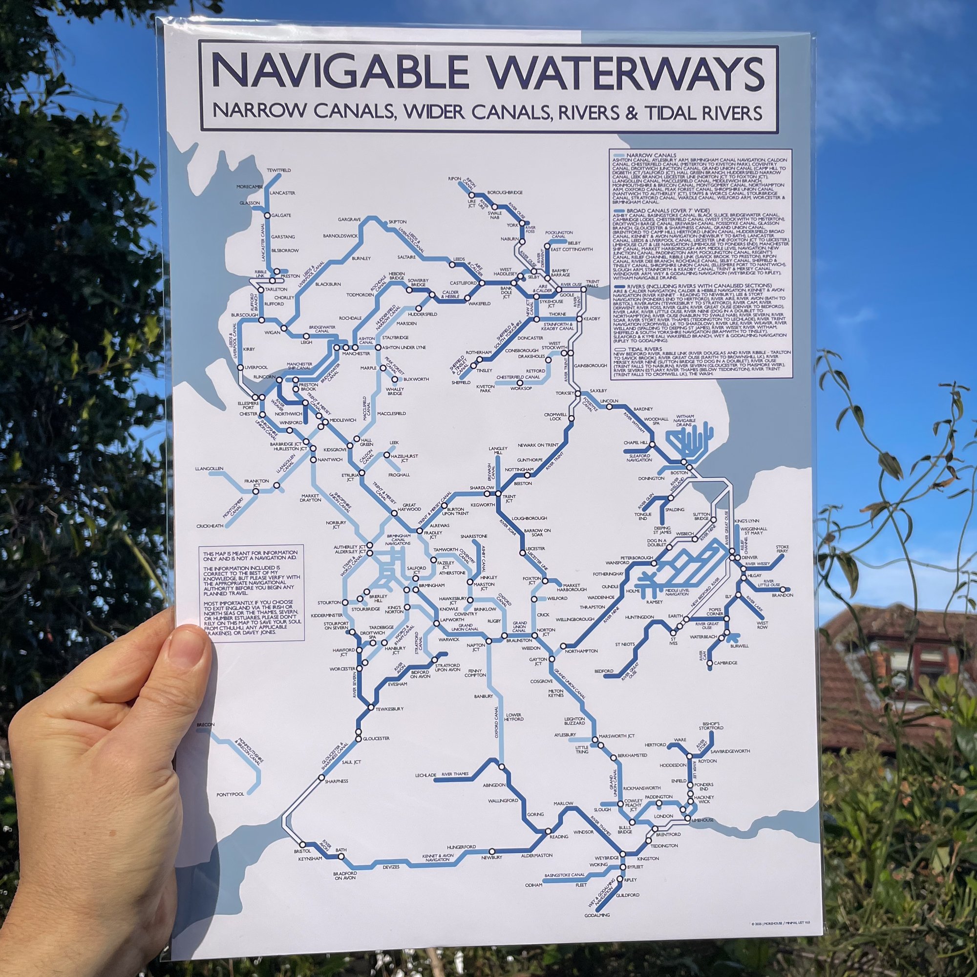
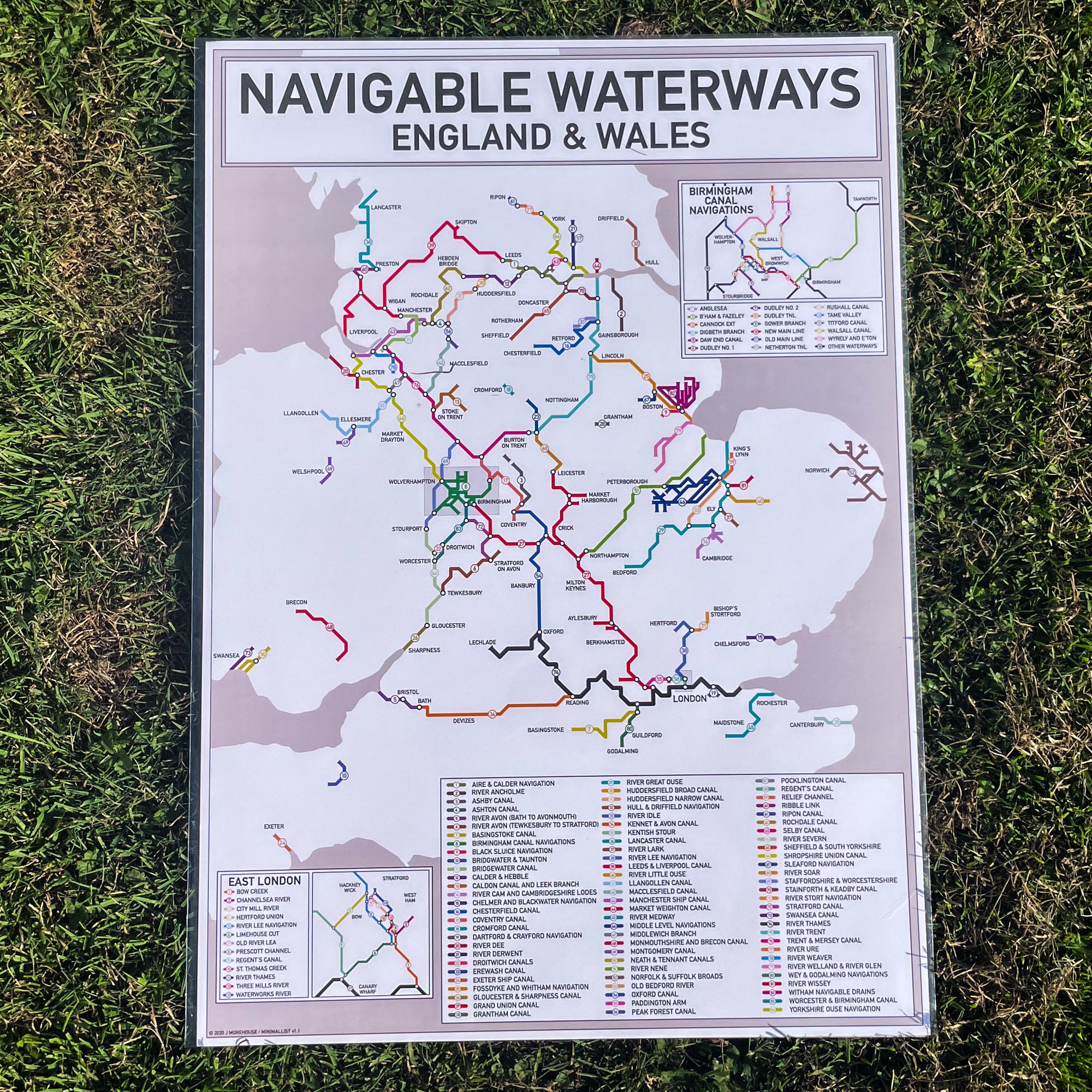
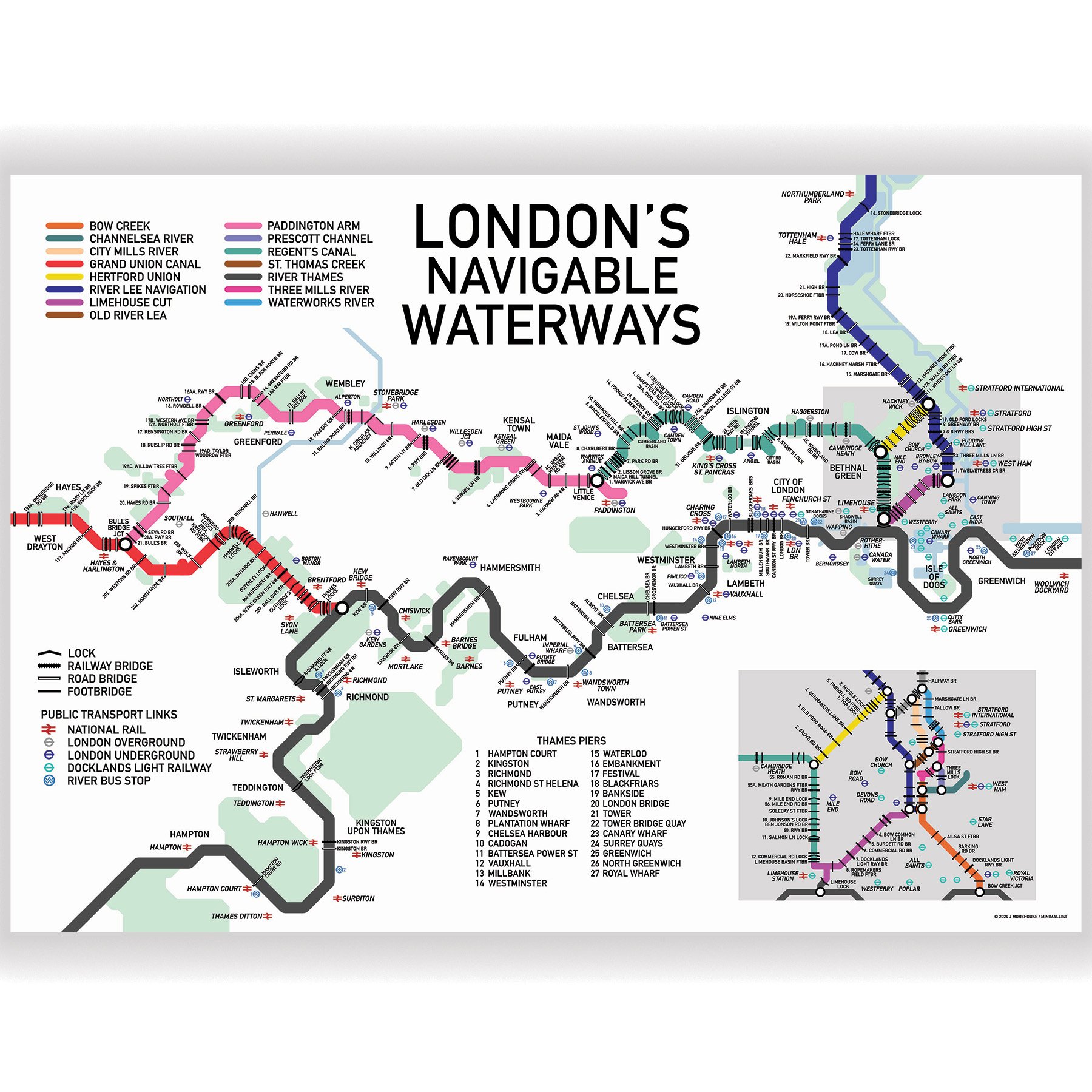
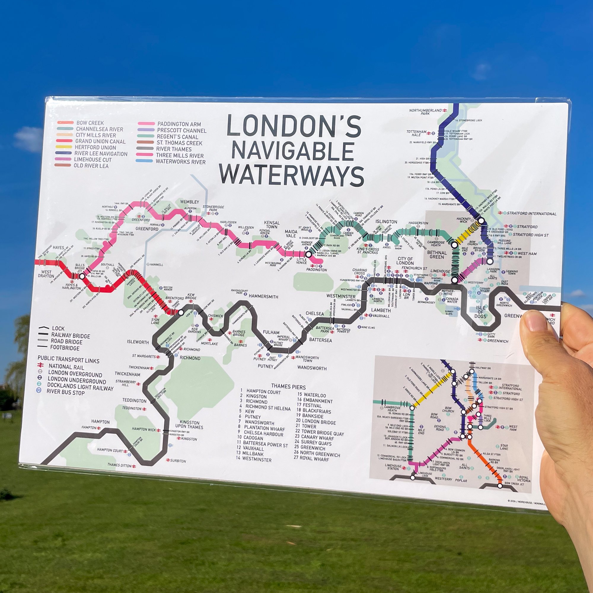
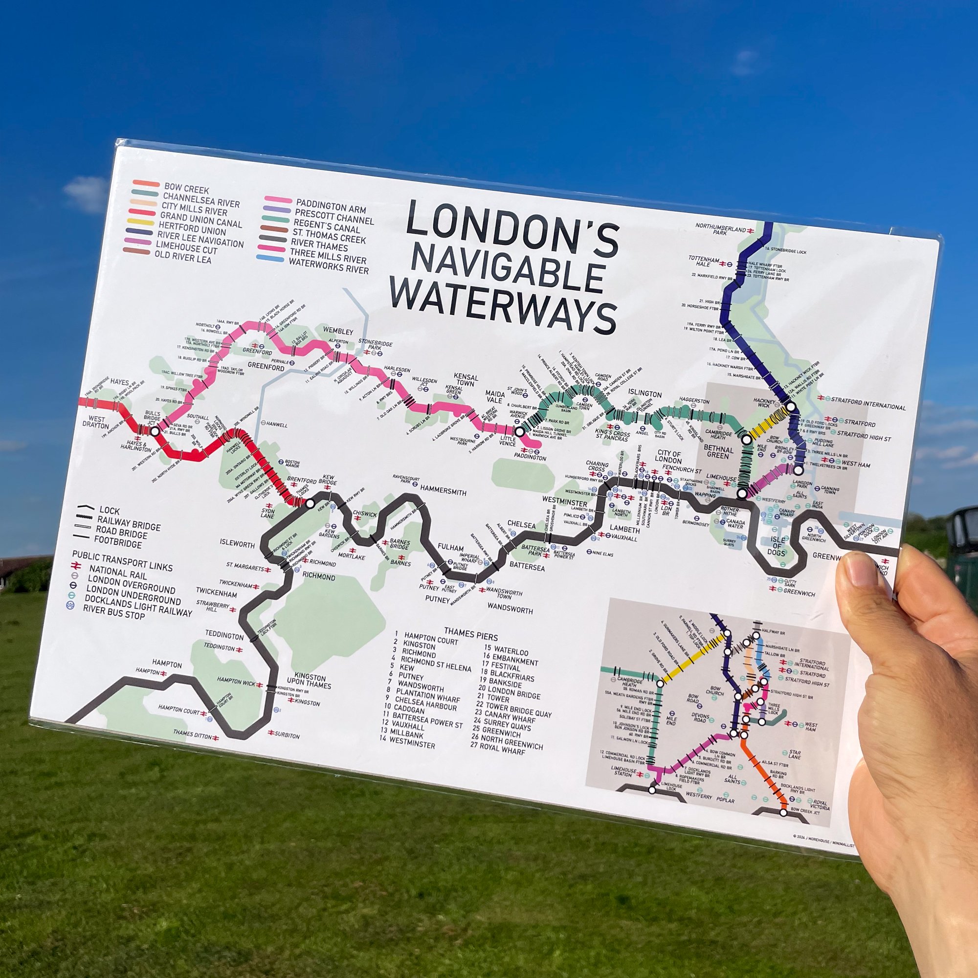
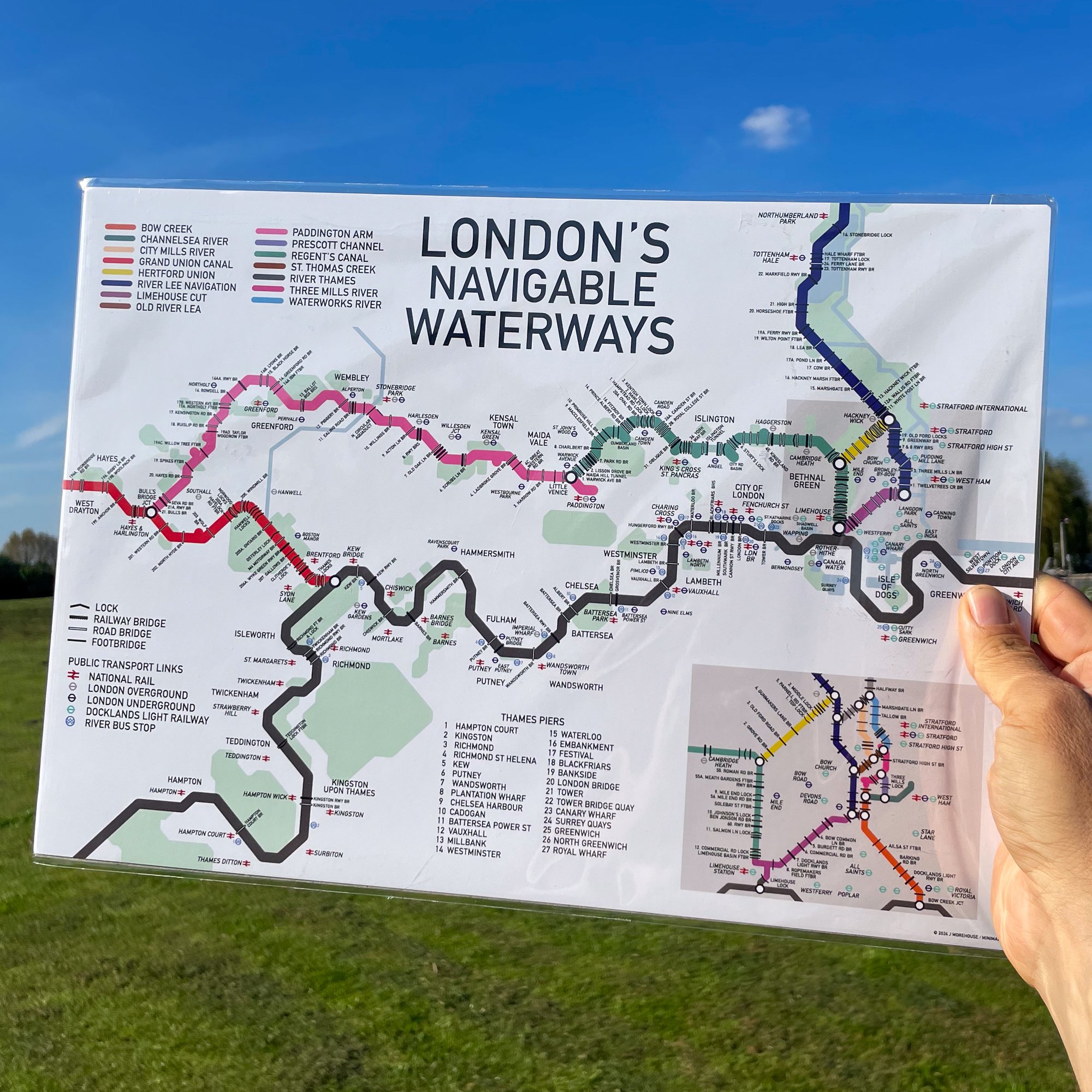
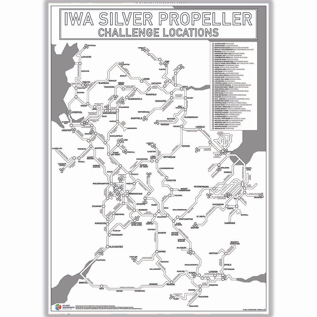
This print is a Tube-style illustration of the Navigable Waterways of England, modified to allow colouring in of the waterways as you travel.
The print also shows the location of the IWA Silver Propeller Challenge Locations on the connected waterways so you can tick them off as you visit.
For more information about the Inland Waterway Silver Propeller Challenge please visit the IWA website. For every map sold, a small donation will be made to the IWA
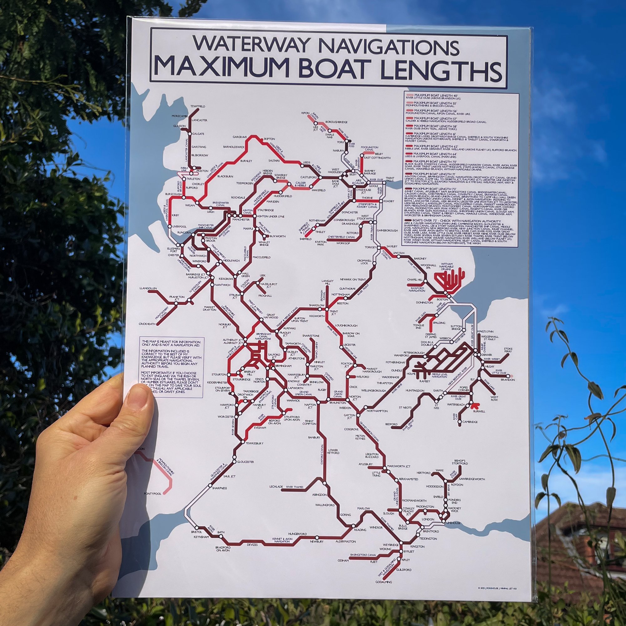
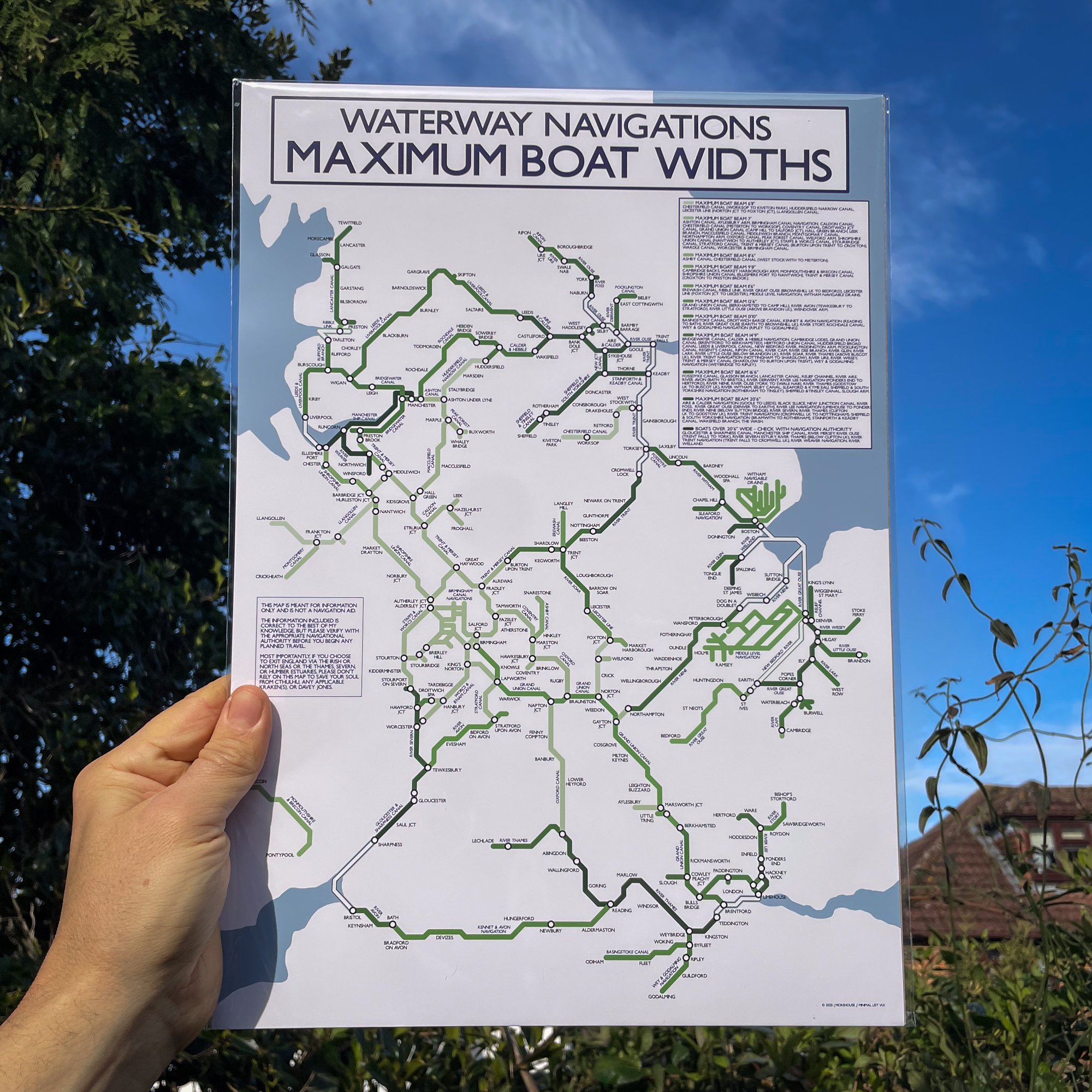
The map also shows the the names of rivers and canals as well as major cities, towns and villages along each route. Not all disconnected waterways, or those which could not fit in the chosen map extents are included, nor are waterways that have been lost to development, are disused, or are currently awaiting restoration.
The map does show the approximate layout of the waterways, but it is not to scale and the print is not intended to be used as a navigation tool.
These maps are printed on Uncoated Bond paper to allow you to colour in your route
Print size - A3 - 420 x 297 mm
The print is wrapped in cellophane with a rigid board for protection. It is delivered flat in a brown envelope marked “Please do not bend”. It is packed by hand by us and dispatched from our Narrowboat home in the UK
